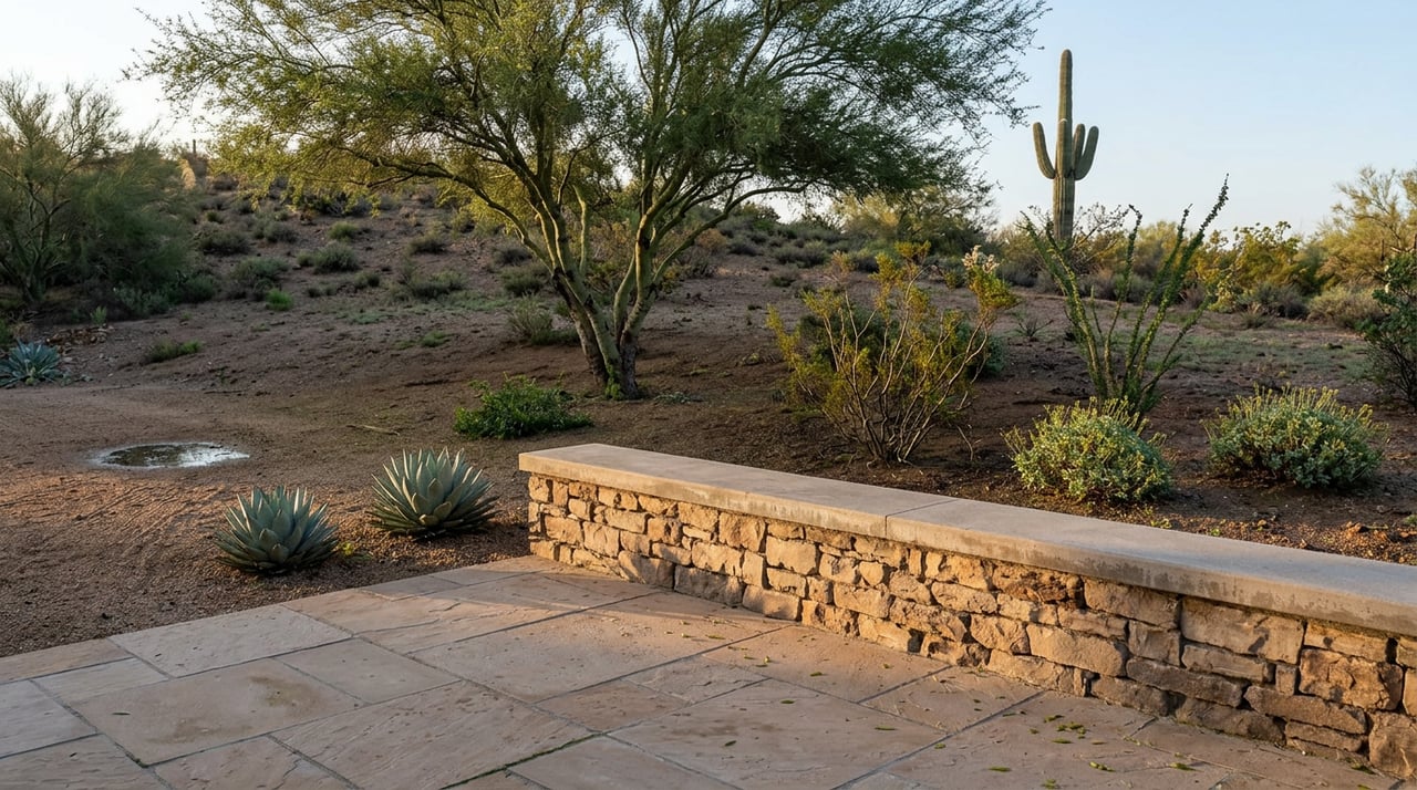
Lightning started a fire near Finger Rock Trail on the night of August 7. Three days later, the trail was open again. That fast turnaround is the least interesting part of this story.
The more useful fact, the one that changes how Ridge Estates residents should actually plan a Saturday morning, is that Finger Rock hasn't been a simple out-and-back for over a year. A new connector trail finished in 2024 and 2025 quietly turned it into a 7-mile loop with the neighboring Pontatoc Trail. Most people hiking out of the Alvernon Way trailhead still don't hike it that way. They park in the same small lot, walk the same grinding switchbacks up and back down, and never see the upper Pontatoc basin that the loop opens up. If you live in the foothills above Sunrise and Skyline, that's worth knowing before your next trip up the canyon.
What Actually Happened With the Fire
The Finger Ridge Fire ignited late on Friday, August 7, caused by lightning during a monsoon storm, according to KOLD News 13's coverage of the incident. By the following Monday, Coronado National Forest crews had it at 67 acres and 50 percent contained, and Finger Rock Trail was back open to the public. Officials said the fire would likely keep smoldering inside containment lines until rain finished it off, and there were no structures at risk at any point.
For a trail that draws hikers from across the Catalina Foothills, three days closed is a blip, not a season. If you saw a headline about a wildfire near Finger Rock and assumed the canyon was off-limits for weeks, it wasn't. It's a useful reminder that trail status during monsoon season can change fast in both directions, and the Forest Service's own alert page is the fastest way to check before you drive up.
The Loop That's Been There Since 2025 and Still Feels Like a Secret
Here's the part that actually matters for how you use this trail system going forward.
Finger Rock Trail #42 and Pontatoc Trail #410 share the same trailhead at the north end of Alvernon Way, but for decades they were two separate commitments. You picked one, hiked up, and hiked back down the same way. The Forest Service's own trail description for Pontatoc #410 now notes that the last two miles of that trail, built new in 2024 and 2025, weave up through the Pontatoc basin to Linda Vista Saddle, where they tie directly into Finger Rock Trail. That connection turns two separate out-and-backs into one continuous 7-mile loop.
A quick side-by-side of what you're choosing between:
| Trail | Round Trip | Character | Good For |
|---|---|---|---|
| Finger Rock #42 | About 6 miles to the saddle overlook, more if you continue toward Mt. Kimball | Steep, rocky, saguaro forest at the start giving way to yucca and juniper higher up | Hikers who want the classic grind and the payoff view of the Finger itself |
| Pontatoc #410 | About 7.6 miles round trip | Canyon floor climbing into an open upper basin, with a seasonal waterfall | Quieter mornings and views of the Pontatoc Cliffs |
| Garnet #411 (formerly Pontatoc Ridge) | Branches off about 0.8 miles in | Ridge walk past old mining relics, once called the Old Spanish Mine Trail | Shorter outings with some local history mixed in |
| Full loop via Linda Vista Saddle | About 7 miles total | Combines Finger Rock's switchbacks with Pontatoc's basin views | Anyone who's done both trails separately and wants to see the connection |
The practical effect is that the same 35-car lot at the end of Alvernon Way is currently absorbing two kinds of traffic: people doing the well-known Finger Rock out-and-back, and a smaller, growing number doing the loop. If you've hiked Finger Rock a dozen times and never looped back through Pontatoc, that's the move worth trying this fall once temperatures drop.
The Rule That Doesn't Apply Right Now, But Will
None of this trail system operates outside a bigger set of rules, and one of them is worth flagging now so it doesn't surprise you in January.
Finger Rock, Pontatoc, and Garnet all sit inside the Bighorn Sheep Management Area of the Pusch Ridge Wilderness. From January 1 through April 30 every year, the Coronado National Forest closure order prohibits travel more than 400 feet off the designated trail in this zone, with fines up to $5,000 for violations. Dogs are barred from the entire management area year-round, not just during lambing season, so that part applies to your hike this week too.
Right now, in August, none of the seasonal restriction is in effect. That's exactly why this is the moment to plan around it rather than get caught by it later. If you're the kind of hiker who likes to scramble off-trail toward the base of the Pontatoc Cliffs or explore the old mine workings along Garnet Trail, do it now. Come January, you'll need to stay within 400 feet of the designated trail.
What the Trailhead Doesn't Have
A few things worth knowing before you drive up, especially if you're newer to this specific trailhead:
- The lot holds about 35 vehicles and fills quickly on weekends and holidays. Weekday mornings are your best bet for guaranteed parking.
- There is no potable water at the trailhead or along any of these trails. Whatever you carry in is what you have.
- There are no restrooms at the trailhead.
- Dogs are prohibited on all three trails, year-round, not seasonally.
- The trailhead is open sunrise to sunset only.
None of that is unusual for a Coronado National Forest access point, but it's easy to forget when the trailhead is a five-minute drive from home instead of a planned outing.
Why the Old Mine Trail Is Worth a Detour
If you've never taken the Garnet Trail branch off Pontatoc, it's a shorter and different kind of hike than either of its neighbors. It was formally called the Pontatoc Ridge Trail and, before that, the Old Spanish Mine Trail, a name that points to the Santa Catalinas' history as a site of real mineral exploration. The Forest Service's trail notes are blunt about the payoff: the mines here didn't pan out, and the workings that remain are more a historical curiosity than a discovery. The ridge walk itself, with views back across the Tucson basin, is the actual reason to go.
The Takeaway for Anyone Living Above Skyline and Sunrise
The headline event was a three-day fire closure that resolved before most people even noticed the smoke. The change that actually affects how you hike this canyon is quieter and has been sitting there since last year: Finger Rock and Pontatoc are no longer two separate commitments. They're one loop, connected at Linda Vista Saddle, and the trailhead lot is still mostly filled with people who haven't figured that out yet.
If you've lived in the Ridge Estates area for years and thought you already knew this trail system, this is the piece of it that's worth a second look. Fall temperatures are close enough now to start planning weekday mornings before the winter closure rules kick back in.
For more on what's changing in the neighborhoods around La Paloma and the Catalina Foothills, La Paloma Lifestyle covers the details that matter to people who already call this area home. Schedule a private consultation anytime you want a local perspective on the broader foothills market.
This article is general information, not legal, tax or financial advice. Consult a qualified professional about your situation.